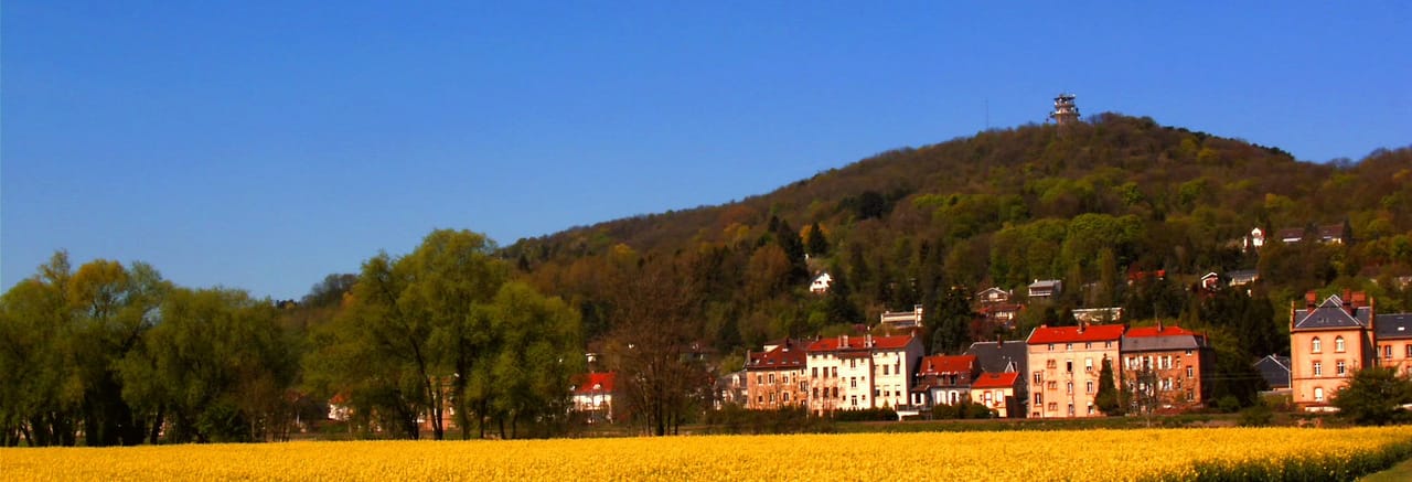
Mont Saint-Quentin
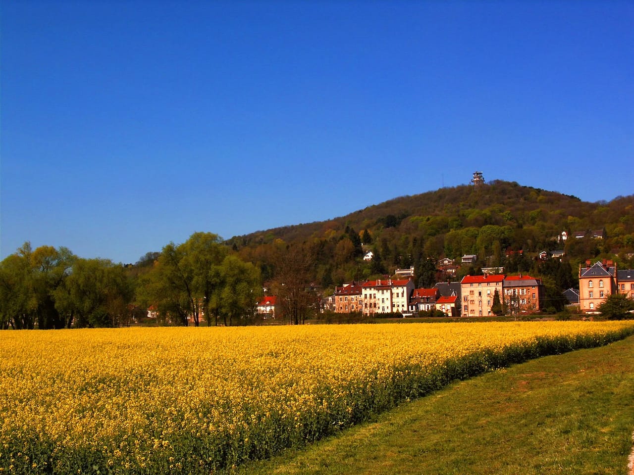
Mont Saint-Quentin is the wooded hill overlooking Metz to the west, across the Moselle. It is not in Metz itself: it spreads over several neighbouring municipalities, including Scy-Chazelles, Le Ban-Saint-Martin, Longeville-lès-Metz, Plappeville and Lessy. Come up for its trails, its protected limestone grasslands and its panorama over the city.
A hill shared by several municipalities
Seen from the centre, Mont Saint-Quentin looks like part of Metz. In fact it spreads across the municipalities of Scy-Chazelles, Le Ban-Saint-Martin, Longeville-lès-Metz, Plappeville and Lessy, with the listed site also reaching into Lorry-lès-Metz. It belongs to the Côtes de Moselle, the ridge that borders the valley to the west. The Eurométropole de Metz has acquired part of the former military land and is developing the site as a natural area open to the public, with waymarked trails.
Limestone grasslands, orchids and butterflies
The hill's limestone soil supports dry grasslands, a habitat that has become rare, where orchids grow and many butterflies and bats live. Part of the hill lies within the Natura 2000 site Pelouses du pays messin, and the hill itself has been a protected site since 1994. For walkers, this means staying on the trails: the Eurométropole maintains several dozen kilometres of paths precisely to limit trampling of these fragile habitats.
From holy relics to the Chappe telegraph
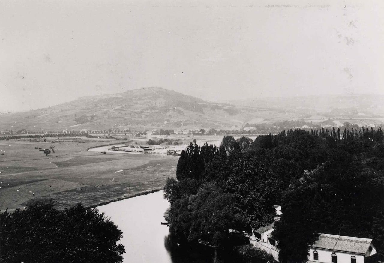
The hill's name goes back to 835, when Bishop Drogo had relics of Saint Quentin brought here; a chapel and then a sanctuary were built, only to disappear during the Revolution. Its commanding position later gave it a role in communications: from 1797 to 1852, a Chappe optical telegraph station relayed messages here until the line closed. These successive uses explain why the hill always mattered to Metz, long before it became a place for walks.
A fortified hill, now handed back to walkers
Between 1867 and 1870, the French army turned the hill into an entrenched camp, the Saint-Quentin fortified group; the German army continued the work after 1871. In August 1944, a fire destroyed manuscripts and early books stored there, and the fighting badly damaged the forts. The military remains are still visible but often dangerous: keep to the open trails and respect the fences. From the ridges, the view takes in Metz and the Moselle valley.
Frequently asked questions
Is Mont Saint-Quentin in Metz?
No. It overlooks Metz to the west but spreads over neighbouring municipalities: Scy-Chazelles, Le Ban-Saint-Martin, Longeville-lès-Metz, Plappeville, Lessy and Lorry-lès-Metz.
Can I walk there freely?
Yes, dozens of kilometres of trails are maintained. Stay on the paths to protect the grasslands and keep away from closed military structures.
Why is the hill protected?
For its dry limestone grasslands, orchids, butterflies and bats; part of it lies within the Natura 2000 site of the Pays Messin grasslands.
What can I combine with a trip to the hill?
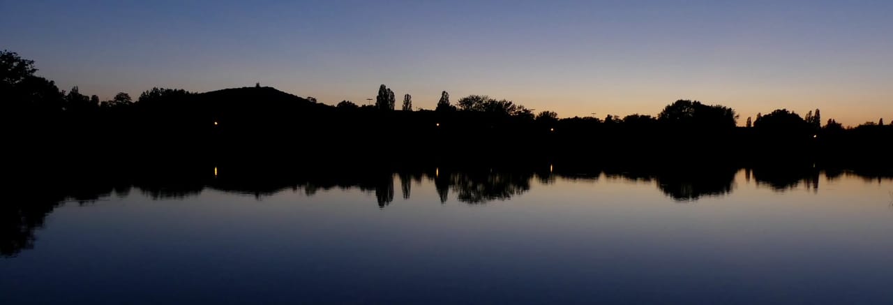
With the Robert Schuman House in Scy-Chazelles, at the foot of the hill, or a walk around the Metz Plan d'eau on the way back down.
Wikimedia Commons — Kristina BEDIJS · Wikimedia Commons — Abbé Adam Pefferkorn (1841-1904), professeur au petit séminaire de Montigny-lès-